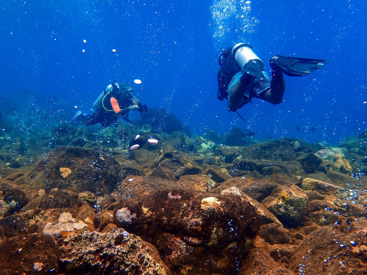
Wallacea Dive Cruise opens a window onto a side of diving in Indonesia that is easy to overlook from the surface. Beneath the archipelago, tectonic forces have built volcanic islands, steep walls, pinnacles, ridges, and seamounts that create dramatically different underwater environments. Add powerful currents and Coral Triangle biodiversity, and geology becomes part of the dive experience itself.
Why Is Indonesia So Volcanic Beneath the Surface?
Indonesia sits across a complex zone of interacting tectonic plates. The U.S. Geological Survey notes that the country’s volcanic and seismic activity is controlled by plate tectonics, while the Sunda and Banda arcs mark major zones of subduction and collision. The Smithsonian Global Volcanism Program lists 101 Holocene volcanoes in Indonesia.
That geology matters underwater. Volcanic islands often continue below the surface as steep slopes, submerged ridges, and rocky foundations. Over time, hard underwater surfaces can provide attachment habitat for corals, sponges, and other organisms. Geography alone does not explain Indonesia’s biodiversity, but it helps shape the physical stage on which it develops.
How Do Volcanoes Create Dramatic Dive Terrain?
A volcanic island is only the visible part of a much larger structure. Below the waterline, its flanks may descend sharply into the deep ocean, creating walls and drop-offs. Eroded volcanic formations can leave ridges, pinnacles, and channels, while submerged volcanic features can form seamounts.
For divers, this helps explain why diving in Indonesia can quickly shift from a sheltered coral garden to a blue-water wall or a current-swept pinnacle. One itinerary may include black-sand slopes, vertical drop-offs, bommies, and offshore peaks.
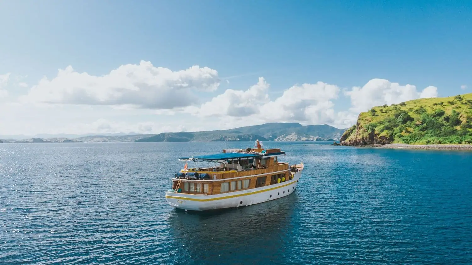
This variety is especially valuable on an Indonesian liveaboard route, where a vessel can move between geological zones rather than staying within a single coastal area.
Why Do Seamounts and Pinnacles Attract Marine Life?
Seamounts and exposed pinnacles interrupt water movement. When currents encounter these structures, they can create turbulence, localized upwelling, and flow changes that redistribute nutrients and plankton. These conditions can support rich biological communities and attract fish and larger marine animals.
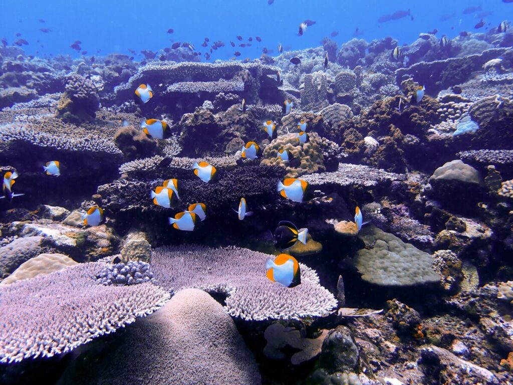
The Coral Triangle Atlas reports more than 574 coral species in Indonesia and approximately 19,805 square kilometers of coral reef. Indonesia also lies at the center of the Coral Triangle, one of the planet’s richest marine biodiversity regions.
That combination of topography, currents, and biodiversity is one reason diving in Indonesia rarely feels visually repetitive.
What Does This Look Like Around Komodo?
Komodo demonstrates how underwater topography and water movement work together. Wallacea is known for consistent currents, with terrain ranging from walls and monumental rocks to seamounts, pinnacles, and sandy slopes.
For divers researching diving in Komodo, the key is not simply choosing a famous location. Timing and current direction can transform the experience. A current-exposed Komodo dive site may feel completely different from a protected reef nearby.
Wallacea reports water temperatures of roughly 22–29°C, with visibility reaching around 25–30 meters in northern areas, while cooler southern waters may offer approximately 10–15 meters. This contrast is one reason a Komodo liveaboard can be useful: the route can access several zones within one journey.
How Does the Banda Sea Reveal the Ring of Fire?
The Banda Sea makes the geological story especially visible. Wallacea’s itineraries describe an arc of volcanic islands including Nila, Serua, Manuk, and the Banda Islands, with underwater environments featuring walls, drop-offs, bommies, and pinnacles.
Here, a diving liveaboard can travel between isolated islands that are difficult to reach from a single land base. Wallacea also describes nutrient-rich upwelling in the Banda Sea associated with seasonal opportunities for schooling hammerheads and other pelagic encounters.
Geology therefore does more than create scenery. It influences depth, exposure, current pathways, and the habitats divers encounter from island to island.
Why Does Volcanic Sand Matter for Macro Divers?
Not every volcanic landscape is about towering walls. Around Halmahera and parts of Maluku, volcanic environments can also include dark sandy bottoms alongside coral gardens, walls, and more exposed underwater terrain. Wallacea highlights this contrast as one of Halmahera’s distinctive diving characteristics.
These less dramatic environments can reward patient macro photographers seeking small, well-camouflaged animals.
That contrast is one reason a purpose-built diving yacht or diving boat can be valuable. Divers may spend one morning scanning a sandy slope for tiny critters and the afternoon drifting beside a coral-covered wall.
Why Are Liveaboards Well Suited to Indonesia’s Geology?
Indonesia comprises roughly 17,000 islands, and many compelling dive environments are separated by open water. A fixed resort can offer excellent local diving, but liveaboard dive trips can connect multiple islands, reef systems, and underwater formations within a single voyage.
That mobility matters in a geologically complex archipelago. Guides can consider tides, current checks, weather, and site exposure when planning the day. Wallacea operates Ambai and Seahorse across destinations including Raja Ampat, Komodo, Banda Sea, Halmahera, Triton Bay, and Sulawesi, showing how liveaboard itineraries can connect very different underwater landscapes.
The Landscape Below Is Part of the Adventure
The next time you descend beside an Indonesian island, look beyond the coral and fish. Notice the reef shape, the angle of the wall, dark volcanic sand, a ridge disappearing into blue water, or a current wrapping around a pinnacle. Each feature tells part of Indonesia’s geological story.
Ultimately, diving in Indonesia is compelling not because volcanoes alone create marine biodiversity, but because tectonic geography, ocean movement, and tropical ecosystems overlap across an enormous archipelago. Understanding that connection adds a new dimension to every descent—and turns the seafloor itself into part of the destination.